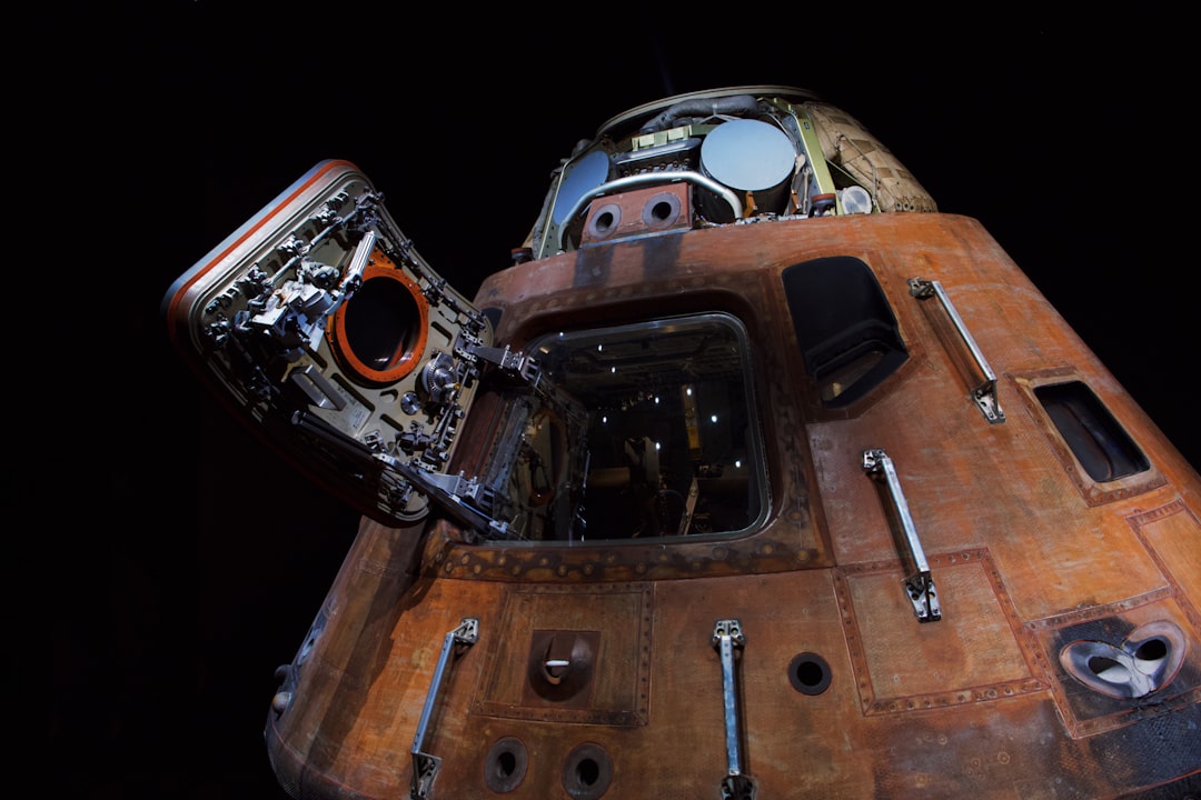
The pursuit of knowledge about the unknown has been a defining characteristic of humanity. From the earliest mariners charting unknown waters to the modern scientists peering into the depths of the cosmos, the drive to explore is an intrinsic human endeavor. This article delves into the realm of cutting-edge exploration technology, examining the tools and techniques that are pushing the boundaries of what was once considered unknowable, revealing how these innovations serve as the eyes and ears of humanity in its quest to understand the universe.
The ocean, a vast and largely unexplored frontier, represents one of the last great wildernesses on Earth. Its depths hold secrets crucial to understanding planetary processes, biodiversity, and potential resources. Modern exploration of this realm is being revolutionized by a new generation of submersible vehicles and sophisticated instrumentation.
Autonomous Underwater Vehicles (AUVs)
Autonomous Underwater Vehicles (AUVs) are uncrewed robotic submarines capable of operating independently for extended periods. Unlike remotely operated vehicles (ROVs), which require a tether for power and control, AUVs navigate pre-programmed routes or adapt their paths based on sensor data. This autonomy allows for mapping vast swathes of the ocean floor, conducting long-term environmental monitoring, and exploring hazardous or inaccessible areas without risking human lives.
Sensor Integration and Data Acquisition
The effectiveness of AUVs is directly tied to their sensor payloads. These can include:
- Multibeam Echosounders: These systems emit sound pulses to create detailed bathymetric maps of the seafloor, revealing topography with remarkable precision. They are the digital cartographers of the underwater world.
- Side-Scan Sonar: This technology uses acoustic imagery to generate detailed visual representations of the seabed, capable of detecting objects and geological features on the seafloor. It’s akin to an underwater radar, painting a picture of what lies beneath the waves.
- Magnetometers: Used to detect variations in the Earth’s magnetic field, magnetometers are crucial for locating ferrous objects such as shipwrecks and mineral deposits.
- Gravimeters: These instruments measure gravitational anomalies, which can indicate the presence of subsurface geological structures or mineral concentrations.
- CTD (Conductivity, Temperature, Depth) Sensors: These provide critical data on water properties, essential for understanding oceanographic processes like currents, salinity, and water mass stratification.
- Chemical Sensors: Specialized sensors can detect dissolved gases, trace elements, and biological markers, aiding in the study of marine chemistry and the presence of specific life forms.
Advanced Navigation and Positioning
Accurate navigation is paramount for AUV missions. Innovations include:
- Inertial Navigation Systems (INS): These systems track the AUV’s motion without external references, providing a continuous estimate of position and orientation.
- Doppler Velocity Logs (DVLs): DVLs measure the vehicle’s velocity relative to the seabed or water column, significantly improving navigation accuracy.
- Acoustic Positioning Systems: Using transponders deployed on the seafloor or on surface vessels, acoustic systems provide absolute positioning data, allowing AUVs to precisely locate themselves in three-dimensional space.
- Surface GPS Integration: When at the surface, AUVs can acquire GPS data for global positioning, which is then used to correct accumulated navigation errors.
Swarm Robotics and Collaborative AUVs
The development of swarm robotics is extending AUV capabilities. By deploying multiple AUVs that can coordinate their actions, researchers can cover larger areas more efficiently or conduct complex, multi-point surveys. These swarms can adapt to changing conditions, sharing information and tasks to achieve a common objective, acting like a synchronized school of fish, each member contributing to the collective understanding of their environment.
Deep-Sea Remotely Operated Vehicles (ROVs)
While AUVs explore autonomously, ROVs offer a direct, human-controlled presence in the deep sea. Tethered to a support vessel by an umbilical cable that provides power and communication, ROVs can be equipped with powerful manipulators, high-definition cameras, and a suite of sampling tools.
Manipulator Arms and Sampling Capabilities
Modern ROV manipulator arms are incredibly dexterous, allowing for:
- Precise object manipulation: From collecting delicate biological specimens to retrieving geological samples, these arms provide fine motor control.
- Tool deployment: ROVs can carry and operate a variety of specialized tools, including coring devices, drills, and electrical discharge machining (EDM) tools for intricate tasks.
- Environmental monitoring: ROVs can deploy and retrieve sensors, perform in-situ measurements, and collect water and sediment samples for later analysis.
High-Definition Imaging and Lighting
The deep ocean is a realm of perpetual darkness, making advanced lighting and imaging systems indispensable.
- 4K and 8K Cameras: These cameras capture incredibly detailed video and still imagery, revealing subtle textures and colors that were previously lost.
- Advanced Lighting Arrays: Powerful LED arrays provide broad and even illumination, minimizing shadows and allowing for clear observation even in the most abyssal environments. The illumination systems are akin to artificial suns, bringing the unseen world into view.
- Stereoscopic Cameras: These provide depth perception, allowing for more accurate assessment of distances and the three-dimensional structure of the underwater landscape.
Real-time Data Transmission and Control
The umbilical cable allows for instantaneous transmission of video, sensor data, and control commands between the ROV and the surface support team. This real-time feedback is crucial for complex operations and for adapting to unexpected discoveries.
Exploration technology has seen remarkable advancements in recent years, significantly enhancing our ability to discover and understand new frontiers. A related article that delves into the latest innovations in this field can be found at XFile Findings, where experts discuss cutting-edge tools and techniques that are revolutionizing exploration across various domains, from deep-sea research to space missions. This resource provides valuable insights into how these technologies are shaping our understanding of the world and beyond.
Innovations in Space Exploration Technology
Space exploration continues to be a grand human narrative, with new technologies constantly pushing the boundaries of our reach. From the vastness of our solar system to the distant exoplanets, innovative spacecraft, sensors, and propulsion systems are transforming our ability to investigate the cosmos.
Advanced Propulsion Systems
Reaching distant celestial bodies requires more than the chemical rockets that propelled humanity to the Moon. Future missions will rely on advanced propulsion systems to reduce travel times and enable exploration of farther reaches of the solar system and beyond.
Ion Propulsion
Ion thrusters work by ionizing a propellant (typically xenon) and accelerating the ions through an electric field. While producing very low thrust, they are highly fuel-efficient, allowing for continuous acceleration over long periods.
- High Specific Impulse: This metric indicates how effectively a rocket engine uses propellant. Ion engines boast significantly higher specific impulse than chemical rockets, meaning they require much less fuel for a given change in velocity over time.
- Long-Duration Missions: The efficiency of ion propulsion makes it ideal for deep-space missions where fuel mass is a critical constraint, such as the Dawn mission which explored the asteroids Vesta and Ceres.
Nuclear Thermal Propulsion (NTP)
NTP systems use a nuclear reactor to heat a propellant (usually hydrogen) to extremely high temperatures before expelling it through a nozzle.
- Higher Thrust and Efficiency: NTP offers a significant improvement in both thrust and specific impulse compared to chemical rockets, potentially reducing travel times to Mars by half.
- Technological Challenges: While promising, NTP faces considerable engineering and safety challenges, including reactor development, propellant handling, and testing in space.
Solar Sails
Solar sails harness the momentum of photons emanating from the Sun. By reflecting sunlight off a large, thin sail, a spacecraft can generate a small but continuous force.
- Propellantless Propulsion: Solar sails require no propellant, making them attractive for long-duration missions or for maintaining precise orbits.
- Scalability: The force generated is dependent on the size and reflectivity of the sail and the intensity of sunlight, suggesting potential for larger, more capable sails in the future.
Next-Generation Telescopes and Observatories
Our understanding of the universe is fundamentally built upon observation, and advancements in telescope technology are continually refining our cosmic vision.
James Webb Space Telescope (JWST)
The JWST is a prime example of cutting-edge observational technology. Operating in infrared wavelengths, it can peer through dust clouds that obscure the view of visible-light telescopes.
- Infrared Capabilities: JWST’s sensitivity to infrared light allows it to observe the first stars and galaxies formed after the Big Bang, study the formation of stars and planetary systems, and analyze the atmospheres of exoplanets.
- Large Segmented Mirror: Its 6.5-meter primary mirror is composed of 18 hexagonal segments that unfold and align in space, a marvel of engineering that enables its unprecedented collecting area.
- Sunshield Technology: A tennis-court-sized, five-layered sunshield protects JWST from the heat and light of the Sun, Earth, and Moon, allowing its instruments to operate at extremely cold temperatures.
Ground-Based Extremely Large Telescopes (ELTs)
On Earth, a new generation of optical telescopes is under construction, promising to dwarf existing instruments.
- Extremely Large Mirror Diameters: Telescopes like the Thirty Meter Telescope (TMT) and the European Extremely Large Telescope (E-ELT) will boast primary mirrors with diameters of 30 to 40 meters, collecting significantly more light than present-day telescopes.
- Adaptive Optics: These systems use deformable mirrors to correct for atmospheric distortions, allowing ground-based telescopes to achieve resolutions comparable to space-based observatories. This technology acts as a cosmic corrective lens.
Gravitational Wave Observatories
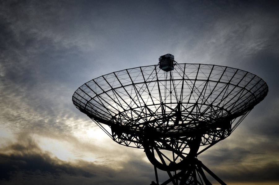
The Laser Interferometer Gravitational-Wave Observatory (LIGO) and its international counterparts have opened a new window on the universe by detecting gravitational waves – ripples in spacetime predicted by Einstein’s theory of general relativity.
- Detection of Cosmic Events: These observatories have detected the mergers of black holes and neutron stars, providing direct evidence of these cataclysmic events and offering insights into fundamental physics.
- Future Generations: Planned observatories like LISA (Laser Interferometer Space Antenna) will extend gravitational wave detection to lower frequencies, probing phenomena like supermassive black hole mergers.
Mars Sample Return Missions
Returning samples from Mars is a monumental undertaking, requiring advanced robotics, sophisticated sample containment, and precise rendezvous and Earth-return capabilities.
Rover Technology and Sample Collection
Rovers like Perseverance are equipped with sophisticated drills and caching systems to collect and store scientifically interesting rock and soil samples in sealed tubes. These systems represent the first stage in a complex chain of events designed to bring pieces of another world back to Earth.
Ascent and Orbital Rendezvous
A crucial component of future Mars Sample Return missions involves an ascent vehicle that will launch from the Martian surface, carrying the collected samples into orbit. This will be followed by an orbital rendezvous with a return spacecraft.
- Automated Docking: The precise and autonomous docking of multiple spacecraft in Martian orbit represents a significant engineering challenge.
- Sample Containment: Ensuring the pristine containment of Martian samples is critical to protect Earth from potential biological contamination and to preserve the scientific integrity of the samples.
Innovations in Subterranean and Geological Exploration
Beneath the Earth’s surface lie vast geological formations, energy resources, and remnants of ancient life. Exploring these realms presents unique challenges, demanding specialized equipment for navigating extreme pressures, temperatures, and limited visibility.
Advanced Drilling Technologies
Accessing deep underground resources and geological formations relies heavily on advancements in drilling.
Steerable Drilling Systems
Modern drilling rigs can precisely control the direction and inclination of the drill bit, enabling them to navigate complex geological strata and reach targets that were previously inaccessible.
- Directional Drilling: This allows for the creation of horizontal or slanted wellbores, maximizing contact with hydrocarbon reservoirs or accessing specific geological formations for research.
- Managed Pressure Drilling (MPD): MPD systems allow for precise control of downhole pressure, enhancing safety, improving wellbore stability, and increasing drilling efficiency in challenging formations.
Measurement While Drilling (MWD) and Logging While Drilling (LWD)
These technologies provide real-time data about the drilling process and the subsurface geology.
- MWD: Transmits data on drilling parameters such as torque, weight on bit, and direction.
- LWD: Integrates sensors into the drill string to measure formation properties like resistivity, porosity, and density as the well is being drilled, offering an immediate geological picture. These systems are like the subterranean geologist, taking readings as the drill bit progresses.
Geophysical Imaging Techniques
Understanding the structure and composition of the Earth’s interior without direct physical access relies on sophisticated geophysical imaging.
Seismic Exploration
Seismic surveys use artificial seismic waves, generated by sources like vibrator trucks or marine air guns, to map subsurface structures.
- Reflection Seismic: The most common method, it involves recording theReflections of seismic waves off different rock layers. These reflections are like echoes from the Earth’s layers, providing a layered image.
- Full Waveform Inversion (FWI): A more advanced technique that utilizes the entire seismic waveform to create highly detailed subsurface models, offering greater resolution than traditional methods.
Ground Penetrating Radar (GPR)
GPR uses radio waves to image shallow subsurface structures, commonly used in archeological investigations and civil engineering.
- Non-Destructive Imaging: GPR can detect buried utilities, voids, and changes in soil stratification without the need for excavation.
- Depth Limitations: Its effective depth is limited by the conductivity of the soil, typically ranging from a few centimeters to several meters.
Subsurface Robotics and Sensors
Deploying robots and specialized sensors into boreholes and underground cavities allows for detailed in-situ analysis and monitoring.
Borehole Imaging Tools
These tools use acoustic or optical sensors to create detailed images of the borehole wall, revealing fractures, bedding planes, and other geological features.
Downhole Environmental Sensors
Sensors designed to withstand high pressures and temperatures can measure parameters such as pore pressure, fluid flow, and gas composition, providing critical data for resource assessment and geological hazard monitoring.
Advancements in Biological and Medical Exploration Technology
The exploration of the biological world, from the microscopic scale to entire ecosystems, is undergoing a revolution driven by genomic sequencing, advanced imaging, and bio-computational tools. Similarly, medical exploration is pushing the boundaries of diagnosis, treatment, and understanding of human health.
Genomics and Proteomics
The complete mapping of an organism’s genetic material (genome) and its complete set of proteins (proteome) provides fundamental insights into life.
Next-Generation Sequencing (NGS)
NGS technologies have dramatically reduced the cost and time required for DNA sequencing.
- High-Throughput Sequencing: NGS platforms can sequence billions of DNA fragments simultaneously, enabling rapid analysis of genomes from diverse organisms.
- Applications: This technology is crucial for understanding disease mechanisms, identifying genetic predispositions, developing personalized medicine, and studying evolutionary biology.
Single-Cell Genomics and Proteomics
Analyzing individual cells rather than bulk tissue provides a much more nuanced understanding of biological heterogeneity.
- Uncovering Cellular Diversity: Single-cell analysis reveals distinct cell populations within a tissue, identifying rare cell types that may be responsible for disease progression or immune responses.
- Spatial Omics: Emerging techniques combine genomic or proteomic information with spatial location within a tissue, offering a more comprehensive picture of cellular interactions.
Advanced Imaging Modalities
Visualizing biological processes at unprecedented detail is essential for both fundamental research and medical diagnosis.
Cryo-Electron Microscopy (Cryo-EM)
Cryo-EM allows scientists to determine the three-dimensional structure of biological molecules and complexes at near-atomic resolution.
- Visualization of Macromolecules: This technique has revolutionized structural biology, enabling visualization of proteins, viruses, and other cellular components in their native state. It’s like having a molecular microscope that can see the intricate machinery of life.
- Overcoming Crystallization Challenges: Unlike traditional electron microscopy, Cryo-EM does not require samples to be crystallized, making it applicable to a wide range of biological structures that are difficult to crystallize.
Positron Emission Tomography (PET) and Functional Magnetic Resonance Imaging (fMRI)
These medical imaging techniques provide insights into physiological processes and brain activity.
- PET: Uses radioactive tracers to visualize metabolic processes and detect diseases like cancer.
- fMRI: Measures brain activity by detecting changes in blood flow, allowing researchers to map brain function and study cognitive processes.
Lab-on-a-Chip and Microfluidic Technologies
Microfluidics deals with the behavior of fluids in confined channels with dimensions in the micrometer range.
- Miniaturization of Laboratories: Lab-on-a-chip devices integrate multiple laboratory functions (e.g., mixing, separation, detection) onto a single small chip.
- Applications: These technologies are used for rapid diagnostics, drug screening, cell analysis, and environmental monitoring, offering faster, more cost-effective, and less resource-intensive analysis.
Exploration technology has rapidly evolved in recent years, enabling scientists and researchers to uncover new frontiers in various fields. For instance, advancements in satellite imaging and data analysis have significantly improved our understanding of remote areas on Earth and beyond. A fascinating article that delves deeper into these innovations can be found at this link, where you can explore how these technologies are shaping the future of exploration.
Emerging Technologies in Remote Sensing and Earth Observation
| Technology | Application | Key Metrics | Advantages | Limitations |
|---|---|---|---|---|
| Seismic Imaging | Subsurface mapping for oil and gas exploration | Resolution: 10-50 meters; Depth: up to 10 km | High accuracy in identifying geological structures | Expensive and requires skilled interpretation |
| Remote Sensing (Satellite) | Surface mineral detection and environmental monitoring | Spatial resolution: 1-30 meters; Spectral bands: 3-200+ | Wide area coverage and repeatable data acquisition | Limited penetration below surface; weather dependent |
| Magnetometry | Detecting magnetic anomalies related to mineral deposits | Sensitivity: 0.1 nT; Survey speed: up to 10 km/hr | Non-invasive and cost-effective for large areas | Interference from cultural noise and geological complexity |
| Ground Penetrating Radar (GPR) | Shallow subsurface imaging for archaeology and engineering | Depth range: 0.5-30 meters; Resolution: 1-10 cm | High resolution and real-time data acquisition | Limited depth penetration in conductive soils |
| Autonomous Underwater Vehicles (AUVs) | Seafloor mapping and resource exploration | Depth capability: up to 6000 meters; Survey speed: 1-5 knots | Access to deep and hazardous underwater environments | Limited battery life and data transmission challenges |
Understanding our planet’s dynamic systems requires the ability to monitor it from a distance. Remote sensing technologies, ranging from satellite-based systems to aerial drones, provide invaluable data for environmental monitoring, disaster response, and resource management.
Synthetic Aperture Radar (SAR)
SAR systems use radio waves to create high-resolution images of the Earth’s surface, regardless of weather conditions or daylight.
- All-Weather, Day-and-Night Imaging: Unlike optical sensors, SAR can penetrate clouds and darkness, making it ideal for monitoring polar regions, tropical areas prone to cloud cover, and for disaster assessment in challenging conditions.
- Applications: SAR is used for mapping changes in land cover, monitoring deforestation, tracking ice sheet melt, detecting oil spills, and assessing damage after earthquakes or floods.
LiDAR (Light Detection and Ranging)
LiDAR uses laser pulses to measure distances and create precise 3D maps of the Earth’s surface.
- High-Resolution Topographic Mapping: LiDAR can capture detailed elevation data, revealing the fine-grained topography of landscapes, including subtle variations in terrain and vegetation height. It generates a digital fingerprint of the Earth’s surface.
- Forestry and Environmental Monitoring: LiDAR is extensively used for mapping forest canopy structure, estimating biomass, and monitoring changes in vegetation cover. It can also detect underground archeological features.
Hyperspectral Imaging
Hyperspectral sensors capture detailed spectral information across hundreds of narrow, contiguous spectral bands.
- Material Identification: Each material has a unique spectral “fingerprint.” Hyperspectral imaging allows for the identification and differentiation of various minerals, vegetation types, and man-made materials based on their unique spectral signatures.
- Precision Agriculture and Environmental Monitoring: This technology is used to assess crop health, detect nutrient deficiencies, map soil composition, and monitor water quality.
Drone and Unmanned Aerial Vehicle (UAV) Technology
Drones have become indispensable tools for a wide range of remote sensing applications.
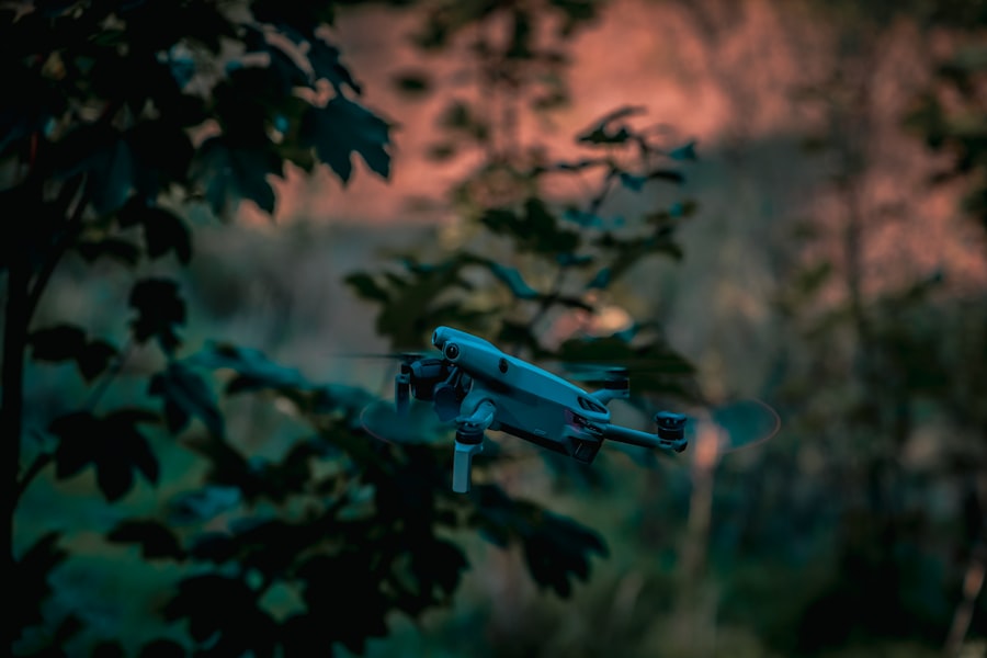
- Versatile Platforms: UAVs can be equipped with various sensors, including optical cameras, thermal imagers, LiDAR, and multispectral sensors, allowing for customized data acquisition for specific needs.
- Cost-Effective and Agile: Drones offer a cost-effective and agile alternative to traditional aerial platforms, enabling rapid deployment for site inspections, environmental surveys, and emergency response. They are the nimble scouts of the aerial realm.
Artificial Intelligence (AI) and Machine Learning (ML) in Data Analysis
The sheer volume of data generated by these remote sensing technologies necessitates sophisticated analysis techniques.
- Automated Object Detection and Classification: AI algorithms can be trained to automatically identify and classify objects of interest within large datasets, such as buildings, vehicles, or specific types of vegetation.
- Change Detection and Predictive Modeling: ML models can analyze temporal data to detect meaningful changes in the environment and build predictive models for phenomena like landslide risk or crop yield.
These cutting-edge technologies are not merely tools; they are extensions of human curiosity, allowing us to probe deeper into the mysteries of the universe, the intricate workings of life, and the complex systems of our home planet. As these technologies continue to evolve, they promise to unlock even greater understanding and to guide humanity in its ongoing journey of discovery.
FAQs
What is exploration technology?
Exploration technology refers to the tools, equipment, and methods used to discover, investigate, and study new or remote areas, including space, underwater, and terrestrial environments.
What are some common types of exploration technology?
Common types include satellites, rovers, submersibles, drones, remote sensing devices, and geographic information systems (GIS), all designed to gather data from environments that are difficult or dangerous for humans to access.
How has exploration technology impacted scientific research?
Exploration technology has significantly expanded our understanding of the Earth, oceans, and outer space by enabling detailed data collection, mapping, and analysis, leading to discoveries in geology, biology, climate science, and astronomy.
What role does robotics play in exploration technology?
Robotics allows for remote or autonomous operation in hazardous or inaccessible environments, such as deep-sea exploration or planetary missions, increasing safety and efficiency in data gathering.
How is exploration technology evolving for future missions?
Advancements focus on improving autonomy, durability, data processing, and communication capabilities, with developments in AI, miniaturization, and energy efficiency to support longer and more complex exploration missions.