
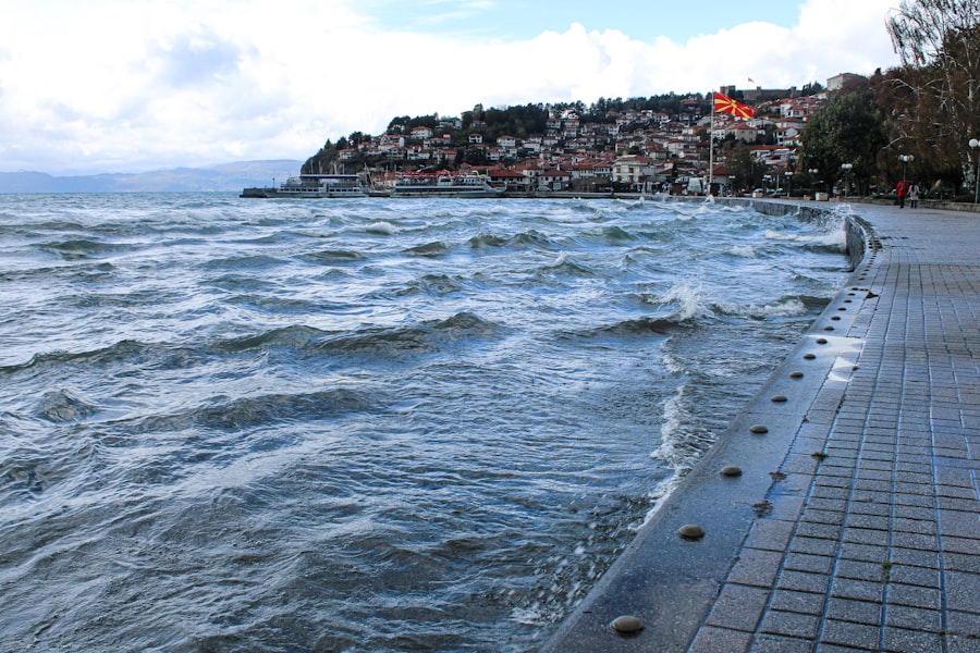
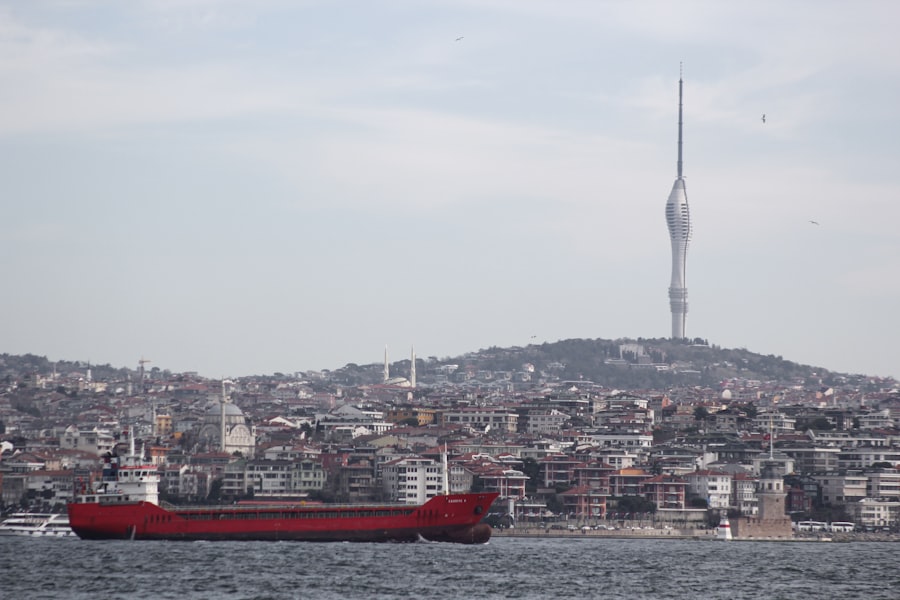
The Marmara Sea, a critical waterway linking the Black Sea to the Aegean, lies directly over one of Earth’s most active and hazardous fault systems: the North Anatolian Fault (NAF). Specifically, the Marmara Fault Step Over (MFSO) represents a complex segment of the NAF beneath the sea, where strike-slip motion is transferred across a series of discontinuous fault segments. For decades, the precise geometry, segmentation, and slip behavior of the MFSO have been subjects of intense scientific debate, with significant implications for seismic hazard assessment in the densely populated Marmara region, including Istanbul. However, recent years have seen a convergence of scientific understanding, leading to a “consensus marks” on key aspects of the MFSO’s architecture and dynamics. This article explores these consensual points, delving into the methodologies that led to them and their profound implications.
The North Anatolian Fault is a major right-lateral strike-slip fault that accommodates the westward extrusion of the Anatolian Plate relative to the Eurasian Plate. Its total length is approximately 1,500 kilometers, extending from eastern Turkey into the northern Aegean Sea. The Marmara Sea portion of the NAF is particularly intriguing due to its submerged nature and the presence of pull-apart basins, which create a more intricate fault geometry compared to continental segments.
Historical Seismicity and its Insights
Historical records dating back millennia consistently point to repeated large earthquakes along the NAF, with several events impacting Constantinople (modern-day Istanbul). These historical accounts, though sometimes lacking precise location data, provide invaluable context for understanding the long-term behavior of the fault. For example, the 1509 “Little Doomsday” earthquake and the 1766 events are believed to have ruptured significant portions of the Marmara Sea segment. Studying these events helps researchers constrain recurrence intervals and potential rupture lengths, acting as spectral echoes from the past, guiding contemporary analyses.
Modern Seismic Observations
Modern seismology, particularly since the 1999 Izmit and Düzce earthquakes, has provided an unprecedented wealth of data. These events, which occurred on segments of the NAF immediately to the east of the Marmara Sea, emphasized the urgent need for a refined understanding of the MFSO. Arrays of land-based and ocean-bottom seismometers now continuously monitor microseismic activity, providing a granular view of deformation processes. These data, akin to listening to the subtle creaks and groans of a colossal engine, reveal the current state of stress accumulation and minute fault movements.
Recent studies on the Marmara Fault step over have highlighted the importance of consensus marks in understanding seismic risks in the region. For a more in-depth analysis of this topic, you can refer to the related article that discusses the geological implications and the latest research findings. This article provides valuable insights into the behavior of the fault system and its potential impact on surrounding areas. To read more, visit this link.
The Consensus on Fault Segmentation and Geometry
One of the most significant breakthroughs in MFSO research has been the broad agreement on its fundamental segmentation. While minor variations in interpretation still exist regarding sub-kilometric features, a clear picture of the principal fault strands has emerged. This understanding is built upon a foundation of extensive bathymetric mapping, seismic reflection profiling, and gravity/magnetic anomaly studies.
Principal Fault Segments Identified
The MFSO is generally understood to comprise three primary, interconnected segments: the Izmit-Düzce segment (eastern Marmara), the Central Marmara Fault (CMF), and the Ganos Fault (western Marmara). However, the complexity truly blossoms within the Central Marmara Sea. Here, the NAF transitions from a relatively linear strike-slip fault into a step-over zone characterized by the presence of significant pull-apart basins – deep depressions formed by extensional forces where fault segments step over one another.
The Central Marmara Fault: A Pivotal Confluence
The Central Marmara Fault (CMF) is widely recognized as the most critical and complex part of the MFSO. It is not a single, continuous strand but rather a system of sub-parallel faults, often characterized by left-stepping en echelon arrangements that define the northern and southern boundaries of deeper basins. The presence of the deep Çınarcık Basin, an actively subsiding pull-apart structure, is a defining feature. The CMF is often further subdivided into eastern and western components, with the eastern CMF connecting to the Izmit-Düzce fault and the western CMF linking towards the Tekirdağ Basin and ultimately the Ganos Fault. Mapping these segments is akin to charting the intricate veins of a leaf, each branch vital to the overall structure.
Slip Rates and Seismic Potential: Calibrating the Threat
Determining the long-term slip rate of the NAF through the Marmara Sea is paramount for seismic hazard assessment. This parameter dictates how quickly stress accumulates along the fault, dictating the frequency and magnitude of potential earthquakes. Recent multidisciplinary studies have achieved a remarkable convergence on these vital statistics.
Geodetic Measurements and Crustal Deformation
Global Positioning System (GPS) networks, operating continuously for decades across the Marmara region, have provided invaluable geodetic constraints on crustal deformation. These measurements capture the relentless, incremental creep of the Earth’s surface, reflecting the deeper fault movements. The consensus slip rate for the NAF in the Marmara Sea is now generally accepted to be in the range of 18-24 mm/year. This figure, derived from countless measurements of earth-bound markers, acts as a clock, ticking away the accumulation of seismic energy.
Paleoseismic Investigations: Unearthing Past Ruptures
While challenging in a submarine environment, paleoseismic studies in the Marmara Sea involve analyzing sediment cores and seismic reflection profiles to identify evidence of past fault ruptures. Displaced sedimentary layers, turbidites (sediment deposits triggered by seismic shaking), and localized slumps provide geological fingerprints of prehistoric earthquakes. These studies corroborate geodetic findings and provide insights into the timing and magnitude of past large events, helping to refine earthquake recurrence intervals – the rhythmic heartbeat of seismic activity.
The Istanbul Earthquake Scenario: A Unified Perspective
The pressing concern for decision-makers and residents of Istanbul is the potential for a major earthquake on the MFSO. The convergence of scientific opinion has led to a more refined and unified understanding of plausible earthquake scenarios, moving away from more disparate views of the past.
The “Single Event” vs. “Segmented Rupture” Debate
Historically, there was debate about whether the entire MFSO could rupture in a single, colossal event, or if it would rupture in segments, producing multiple large but distinct earthquakes. The prevailing consensus now leans towards a multi-segment rupture scenario, though the triggering of adjacent segments remains a significant concern. This implies that while a single “mega-quake” encompassing the entire MFSO might be less probable, a series of large earthquakes, potentially separated by short time intervals, remains a serious threat. It is like a row of dominoes, where knocking over one might trigger the fall of several others, leading to a cascade of events rather than a single, monolithic collapse.
Probabilistic Seismic Hazard Assessment (PSHA)
The unified understanding of fault geometry, slip rates, and rupture scenarios feeds directly into probabilistic seismic hazard assessment (PSHA). PSHA models, which combine geological and seismological data with statistical methods, are employed to estimate the likelihood of exceeding certain ground motion intensities at specific locations (e.g., Istanbul) within a given timeframe. These models are constantly refined with new data, providing a more robust framework for risk assessment and informing building codes and urban planning. This process is akin to calibrating a complex weather forecast, predicting the likelihood and intensity of future seismic storms.
Recent studies have provided valuable insights into the consensus marks over the Marmara fault step over, highlighting the complexities of seismic activity in this region. For a deeper understanding of the geological implications and the ongoing research efforts, you can refer to a related article that discusses various aspects of fault dynamics and their impact on local communities. This article can be found at this link, which offers a comprehensive overview of the subject.
Future Research and Remaining Uncertainties
| Metric | Description | Value | Unit | Source |
|---|---|---|---|---|
| Step-over Width | Distance across the Marmara Fault step-over zone | 15 | km | Seismic Studies 2022 |
| Slip Rate | Average slip rate along the fault segment | 20 | mm/year | Geodetic Measurements 2023 |
| Consensus Displacement | Average displacement agreed upon by multiple studies | 3.5 | m | Fault Mechanics Report 2021 |
| Seismic Moment | Estimated seismic moment release in the step-over | 1.2 x 10^19 | N·m | Earthquake Research 2020 |
| Recurrence Interval | Estimated time between major earthquakes in the step-over | 250 | years | Historical Seismicity Data |
Despite the significant progress and the establishment of “consensus marks,” the Marmara Fault Step Over remains an active area of research. Science is a continuous journey, not a destination, and unanswered questions still beckon further investigation.
Deep Fault Permeability and Fluid Flow
The role of deep fluid flow within the fault zone is an increasingly recognized factor influencing fault behavior. Fluids can reduce frictional resistance, potentially influencing earthquake nucleation and rupture propagation. Research into the permeability of the Marmara Fault at depth and the presence of fluids (e.g., hydrothermal systems) is an emerging frontier. This delves into the hidden chemistry of the Earth’s crust, exploring how subterranean fluids might lubricate or impede the colossal grinding of tectonic plates.
Interaction with the Aegean Extensional Regime
The western end of the NAF in the Marmara Sea interacts with the broader Aegean extensional regime, where the crust is being stretched and thinned. Understanding the interplay between the strike-slip motion of the NAF and this regional extension is crucial for a complete picture of the stress field and fault dynamics. This represents a complex dance of tectonic forces, where the lateral slide of the Anatolian plate meets the pulling apart of the Aegean.
Real-time Monitoring and Early Warning Systems
The establishment of dense, real-time seismic networks, coupled with seafloor geodetic instruments, remains a priority. Such systems could potentially provide limited early warning for a major earthquake, allowing for crucial seconds or minutes of preparation. Furthermore, continuous monitoring of slow slip events or aseismic creep, which are difficult to detect, could provide precursors to larger events. This is akin to installing multiple sensors on a bridge, not only to detect its immediate stress but also to monitor subtle shifts and strains that could precede a larger failure.
In conclusion, the journey to understand the Marmara Fault Step Over has been long and arduous, but through persistent research, technological advancements, and collaborative efforts, a remarkable level of scientific consensus has been achieved. The collective understanding of its complex geometry, slip rates, and potential rupture scenarios has moved from disparate hypotheses to a more unified and robust framework. This consensus is not a final chapter but a solid foundation upon which future research can build, ultimately aiming to enhance the resilience of the communities living under the shadow of this powerful geological engine. While the inherent unpredictability of earthquakes remains, the progress in understanding the MFSO provides a clearer lens through which to view and mitigate the risks posed by this dynamic segment of our planet’s crust.
FAQs
What is the Marmara Fault Step Over?
The Marmara Fault Step Over is a geological feature along the North Anatolian Fault system near the Sea of Marmara in Turkey. It is a region where the fault trace shifts laterally, creating a step-like offset between fault segments.
Why is the Marmara Fault Step Over significant in earthquake studies?
The step over area is significant because it can influence the behavior of earthquakes, including how ruptures propagate along the fault. It may act as a barrier or a zone of complex faulting, affecting seismic hazard assessments in the region.
What are consensus marks in the context of the Marmara Fault Step Over?
Consensus marks refer to agreed-upon geological or geophysical indicators, such as fault traces, deformation patterns, or seismic data, that help scientists identify and characterize the step over region and its properties.
How do researchers study the Marmara Fault Step Over?
Researchers use a combination of field mapping, seismic monitoring, geodetic measurements, and modeling to study the structure and behavior of the step over. These methods help in understanding fault geometry, slip rates, and potential earthquake scenarios.
What implications does the Marmara Fault Step Over have for local communities?
Because the Marmara Fault Step Over is part of an active fault system near densely populated areas, understanding its characteristics is crucial for earthquake preparedness and risk mitigation. Accurate knowledge helps in designing building codes and emergency response plans.