The year 2026 promises to be a pivotal period for maritime operations, driven in no small part by the continued evolution and integration of satellite technology. As global maritime traffic intensifies and the complexity of the maritime domain increases, the need for comprehensive and actionable situational awareness becomes paramount. Satellite systems, once largely confined to niche applications, are now at the forefront of providing the overarching perspective required to navigate, monitor, and secure these vast and vital oceanic spaces. This article will explore the multifaceted ways in which satellite technology is poised to enhance maritime situational awareness in 2026, examining the advances in satellite capabilities, data fusion, and the downstream applications that will shape the future of the industry.
The landscape of satellite technology is characterized by a relentless pace of innovation, with 2026 set to witness the culmination of several ongoing trends. The increasing accessibility and affordability of space are fueling the growth of both governmental and commercial satellite constellations, leading to more frequent revisits, higher resolution imagery, and expanded data acquisition capabilities.
Enhanced Earth Observation Capabilities
The backbone of maritime situational awareness lies in the ability to observe the Earth’s surface from space. In 2026, this capability will be significantly augmented by several key developments.
Higher Resolution Optical and Synthetic Aperture Radar (SAR) Imagery
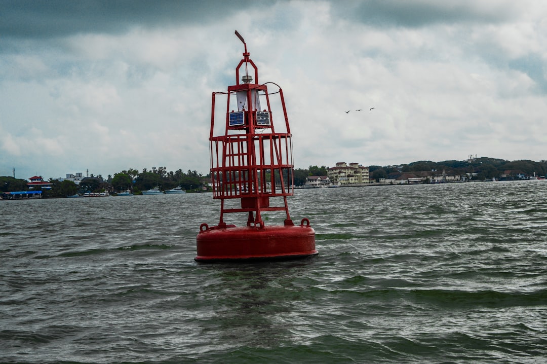
The drive towards higher resolution optical imagery has progressed to a point where individual vessels, buoys, and even smaller floating objects can be discerned with unprecedented clarity. This allows for more precise vessel identification, the detection of clandestine activities, and the monitoring of infrastructure. Complementing optical capabilities, Synthetic Aperture Radar (SAR) satellites will continue to advance, offering all-weather, day-and-night imaging. In 2026, SAR systems will provide even greater detail in detection of subtle changes on the sea surface, such as oil spills or wakes, and will offer improved polarimetric capabilities for enhanced target characterization. This dual-sensor approach ensures that critical information is available regardless of environmental conditions.
Hyperspectral and Multispectral Imaging
Beyond traditional optical and radar capabilities, the deployment of hyperspectral and multispectral sensors on satellites will become more widespread. Hyperspectral sensors capture data across hundreds of narrow spectral bands, enabling the detection of subtle differences in the composition of materials. For maritime applications, this translates to the potential for more advanced identification of vessel types based on hull coatings or the detection of specific pollutants. Multispectral sensors, with their broader bands, offer a more cost-effective way to differentiate between broad categories of phenomena like algal blooms, sediment plumes, or the presence of different types of vessels.
Dedicated Maritime Surveillance Satellites
A significant trend anticipated for 2026 is the increasing presence of satellite constellations specifically designed for maritime surveillance. These constellations often combine multiple sensor types with optimized orbits and rapid tasking capabilities to provide persistent monitoring of designated maritime zones. This focused approach allows for more efficient resource allocation and the continuous tracking of vessels of interest.
Expanded Automatic Identification System (AIS) and Long-Range Identification and Tracking (LRIT) Data
While not strictly new sensor technology, the proliferation and improved integration of AIS and LRIT data remain crucial to maritime situational awareness.
Increased AIS Data Inundation and Global Coverage
AIS, a transponder system used by ships for collision avoidance and identification, is increasingly being collected from space. By 2026, the number of satellites equipped to receive AIS signals will have grown, providing near-global coverage and mitigating the “dead zones” that previously existed. This increased data volume allows for the tracking of a much larger proportion of the global fleet, providing critical information for VTS (Vessel Traffic Services), search and rescue operations, and security monitoring.
Advanced LRIT and Vessel Tracking
Long-Range Identification and Tracking (LRIT) systems, mandated by the International Maritime Organization (IMO), provide ship location data at regular intervals. In 2026, the integration of LRIT data with other satellite sources will enable more sophisticated anomaly detection, flagging vessels that deviate from their expected routes or exhibit unusual behavior, even if their AIS is turned off or malfunctioning.
In the context of enhancing maritime situational awareness, the upcoming advancements in satellite technology are crucial for 2026. A related article that delves into the implications of these developments can be found at XFile Findings, where it discusses how improved satellite capabilities will revolutionize maritime monitoring and safety. This resource provides valuable insights into the integration of satellite data with existing maritime systems, highlighting the potential for more effective navigation and threat detection on the high seas.
The Power of Data Fusion and Artificial Intelligence
The sheer volume of data generated by diverse satellite constellations and sensor systems necessitates sophisticated processing and analytical tools. In 2026, the integration of these disparate data streams through advanced data fusion techniques, powered by artificial intelligence (AI) and machine learning (ML), will unlock new levels of insight and actionable intelligence.
Harmonizing Diverse Data Streams
The challenge of maritime situational awareness is not merely collecting data, but effectively combining it to form a coherent picture.
Cross-Correlation of Sensor Data
In 2026, the ability to cross-correlate data from optical, SAR, AIS, LRIT, and even potentially radar altimetry or oceanographic sensors will be significantly improved. For instance, a faint SAR signature indicative of a small vessel that is not broadcasting AIS could be cross-referenced with historical optical imagery and vessel movement patterns to identify it as a potential fishing vessel or a vessel engaged in illicit activities.
Geospatial Information System (GIS) Integration
The seamless integration of satellite data into robust Geospatial Information Systems (GIS) will be a hallmark of 2026. This allows for the contextualization of maritime traffic within broader geographical and environmental frameworks, enabling the identification of patterns, anomalies, and potential threats in relation to shipping lanes, sensitive marine areas, or geopolitical borders.
AI-Driven Analytics and Anomaly Detection
Artificial intelligence will play an increasingly critical role in extracting meaning from the overwhelming flow of maritime data.
Automated Vessel Detection and Classification
Machine learning algorithms will be capable of automatically detecting and classifying vessels in satellite imagery with high accuracy. This moves beyond simple object detection to sophisticated classification based on shape, size, behavior, and the type of sensor data available. This automation frees up human analysts to focus on more complex interpretations and decision-making.
Predictive Analytics for Maritime Events
In 2026, AI will enable more sophisticated predictive analytics. By analyzing historical AIS data, weather patterns, and known maritime incidents, ML models will be able to predict the likelihood of certain events, such as potential piracy hotspots, areas prone to accidental groundings, or the trajectory of an oil spill from a damaged vessel.
Anomaly Detection and Alerting Systems
The core of enhanced situational awareness lies in the ability to rapidly identify deviations from the norm. AI-powered anomaly detection systems will continuously monitor data feeds, flagging unusual vessel behavior, unexpected object appearances, or deviations from expected environmental conditions. These alerts will be more precise and context-aware, reducing false positives and enabling faster response times.
Applications Across the Maritime Sector

The advancements in satellite technology and data fusion are not abstract theoretical developments; they will have tangible and transformative impacts across the entire maritime sector.
Enhanced Maritime Security and Border Protection
The ability to monitor vast stretches of ocean with increasing detail is fundamentally changing the landscape of maritime security.
Illicit Trafficking Interdiction
By 2026, satellite technology will provide even greater capabilities for detecting and tracking vessels involved in smuggling of drugs, arms, and other illicit goods. The combination of high-resolution imagery to identify suspicious activity and AIS/LRIT data to track vessels of interest will significantly improve interdiction efforts.
Illegal, Unreported, and Unregulated (IUU) Fishing Detection
IUU fishing represents a significant economic and environmental threat. Enhanced satellite surveillance, including the use of SAR to detect fishing vessel activity in restricted areas and the analysis of AIS data for anomalies, will allow for more effective identification and prosecution of these operations.
Maritime Domain Awareness for Defense
Military and coast guard agencies will benefit immensely from the improved situational awareness afforded by satellite technology. This includes enhanced intelligence gathering, the monitoring of adversary vessel movements, and the protection of critical maritime infrastructure and chokepoints.
Optimized Maritime Logistics and Shipping Operations
Beyond security, satellite technology will drive significant improvements in the efficiency and safety of commercial shipping.
Real-time Vessel Tracking and Fleet Management
Shipping companies will leverage enhanced satellite data for comprehensive, real-time tracking of their entire fleets. This enables more accurate estimated times of arrival (ETAs), optimized route planning to avoid congestion or adverse weather, and improved cargo management.
Port and Vessel Traffic Management
Ports and Vessel Traffic Services (VTS) will benefit from a more complete understanding of incoming and outgoing traffic. This allows for better resource allocation, reduced waiting times, and enhanced safety within port approaches and congested waterways.
Environmental Monitoring and Compliance
Satellites will play a crucial role in monitoring environmental compliance by vessels. This includes the detection of unauthorized discharges, the tracking of vessel emissions, and the monitoring of ballast water management.
Improved Maritime Safety and Disaster Response
The ability to quickly and accurately assess maritime situations is critical for saving lives and responding to emergencies.
Enhanced Search and Rescue (SAR) Operations
In 2026, satellite data will provide SAR agencies with more precise information about distress incidents, including the location and nature of the vessel in distress, and the movement of potential survivors. Integrating AIS data from nearby vessels can also facilitate rapid rescue efforts.
Oil Spill and Environmental Disaster Response
Satellite imagery, particularly SAR and optical sensors, is invaluable for the rapid detection and monitoring of oil spills and other environmental disasters at sea. This information is crucial for coordinating response efforts, containing the damage, and assessing the environmental impact.
Navigation and Charting Accuracy
The continuous monitoring of sea states, ice conditions, and potential hazards from space contributes to more accurate navigational charts and real-time alerts for mariners, further enhancing navigational safety.
Challenges and Future Directions

Despite the significant advancements, challenges remain in fully realizing the potential of satellite technology for maritime situational awareness.
Data Accessibility and Interoperability
While satellite data availability is increasing, challenges persist in terms of full accessibility to all relevant parties and the seamless interoperability of data from different providers and formats.
Data Sharing Agreements and Frameworks
Establishing robust data sharing agreements and international frameworks will be crucial to ensure that vital maritime information can be efficiently disseminated to all stakeholders who require it for effective situational awareness and response.
Standardization of Data Formats
The proliferation of different satellite sensors and data processing methodologies can lead to disparate data formats. Standardization efforts will be essential to enable easier integration and analysis of information from multiple sources.
Cost and Infrastructure Requirements
While the cost of accessing satellite data is decreasing, significant investment is still required in infrastructure for data reception, processing, analysis, and dissemination.
Development of Ground Segment Capabilities
Ensuring adequate ground segment capabilities, including satellite receive stations, processing centers, and data archival systems, is essential to effectively utilize the growing volume of satellite data.
Training and Expertise Development
The effective utilization of advanced satellite data and AI-driven analytics requires skilled personnel. Investment in training and education programs for maritime professionals in data science, AI, and GIS will be critical.
Cybersecurity of Maritime Data
As maritime data becomes increasingly digitized and interconnected, ensuring the cybersecurity of this sensitive information is paramount to prevent unauthorized access or manipulation.
Ethical Considerations and Data Privacy
The pervasive nature of satellite surveillance raises important ethical considerations regarding data privacy and the potential for misuse.
Balancing Surveillance with Privacy
Striking a balance between the need for comprehensive maritime surveillance and the protection of individual privacy and commercial sensitivities will be an ongoing discussion and require careful policy development.
Responsible Use of AI in Maritime Surveillance
The ethical implications of using AI for automated decision-making in maritime security and surveillance scenarios will require careful consideration and robust oversight to prevent unintended consequences or biases.
Maritime situational awareness is becoming increasingly vital for ensuring safety and security on the high seas, especially with advancements in satellite technology expected by 2026. A recent article discusses the implications of these developments and how they can enhance monitoring and response capabilities in maritime operations. For more insights on this topic, you can read the full article here. The integration of satellite systems into maritime strategies promises to revolutionize how we perceive and react to maritime challenges.
Conclusion
| Metrics | Data |
|---|---|
| Launch Year | 2026 |
| Orbit Type | Low Earth Orbit (LEO) |
| Coverage | Global |
| Resolution | High-resolution imaging |
| Applications | Maritime situational awareness, ship tracking, environmental monitoring |
By 2026, satellite technology will have moved beyond being a supplementary tool to becoming an indispensable pillar of maritime situational awareness. The convergence of advanced satellite constellations, sophisticated sensor technology, and powerful AI-driven data fusion capabilities will equip maritime stakeholders with an unprecedented understanding of the ocean environment and the activities within it. From enhancing security and interdiction efforts to optimizing logistics and enabling rapid disaster response, the impact of this technological evolution will be profound and far-reaching. While challenges related to data accessibility, cost, and ethical considerations will require continued attention, the trajectory is clear: satellites will be the eyes in the sky, providing the essential perspective for navigating the complexities of the global maritime domain in the years to come.
FAQs
What is maritime situational awareness satellite 2026?
Maritime situational awareness satellite 2026 refers to a satellite system designed to provide real-time monitoring and tracking of maritime activities, including vessel movements, in order to enhance maritime security and safety.
How does maritime situational awareness satellite 2026 work?
Maritime situational awareness satellite 2026 works by using advanced satellite technology to collect and analyze data related to maritime activities, such as vessel positions, speeds, and routes. This data is then used to create a comprehensive picture of maritime traffic and potential threats.
What are the benefits of maritime situational awareness satellite 2026?
The benefits of maritime situational awareness satellite 2026 include improved maritime security, enhanced safety for vessels at sea, better response to maritime incidents, and more effective enforcement of maritime regulations.
Who will use maritime situational awareness satellite 2026?
Maritime situational awareness satellite 2026 will be used by maritime authorities, coast guards, navies, shipping companies, and other organizations involved in maritime operations and security.
What are the future developments for maritime situational awareness satellite 2026?
Future developments for maritime situational awareness satellite 2026 may include advancements in satellite technology, integration with other maritime security systems, and expanded coverage to include more remote and high-risk maritime areas.