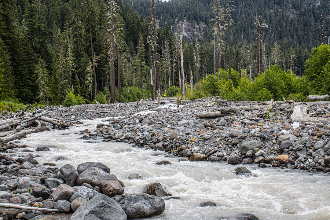
Predicting River Crest Height: Gauge ID Analysis delves into the critical process of forecasting the peak water levels of rivers, a vital task for flood management, water resource planning, and infrastructure maintenance. The accuracy of these predictions directly impacts the safety of communities, the efficiency of agricultural practices, and the stability of ecosystems. At the heart of hydrological forecasting lies the analysis of data collected from a network of river gauges. These gauges, identified by unique Gauge IDs, provide real-time and historical measurements of river stage, which are then used to develop mathematical models that project future water levels. This article explores the methodologies, challenges, and advancements associated with using Gauge ID data for predicting river crest heights.
River gauges are indispensable tools for hydrological monitoring. They provide direct measurements of the water level at specific points along a river. The data generated by these gauges forms the bedrock of virtually all riverine flood forecasting and water management strategies. Without this continuous stream of information, understanding the dynamic behavior of a river system would be significantly more challenging, if not impossible.
The Role of Unique Gauge IDs
Each river gauge is assigned a unique identifier, or Gauge ID. This seemingly simple designation is critical for managing and referencing the vast amounts of data collected. The Gauge ID ensures that data from different locations are not conflated, allowing for precise spatial understanding of river conditions. It is the key that unlocks specific data streams for analysis and model input.
Standardization and Interoperability
The use of standardized Gauge IDs across different monitoring agencies and regions is crucial for data sharing and collaborative research. When Gauge IDs are consistent, it facilitates the integration of data from disparate sources, leading to more comprehensive and robust hydrological models. This interoperability is particularly important in transboundary river basins where multiple countries contribute to monitoring efforts.
Data Integrity and Provenance
A well-managed Gauge ID system also contributes to data integrity. By linking specific data points to a unique identifier, it becomes easier to track the origin and history of the data. This aids in identifying potential errors, understanding the calibration status of a gauge, and ensuring the overall reliability of the information used in predictions.
Types of River Gauge Technologies
The technology behind river gauges has evolved significantly over time, impacting the quality and availability of data. The type of gauge used influences the resolution and accuracy of the measurements.
Float-Type Gauges
These traditional gauges use a float that rises and falls with the water level. The movement of the float is mechanically linked to a recording device, often a pen that traces a line on a moving chart. While historically important, these gauges are less common in modern, automated systems due to their manual nature and susceptibility to mechanical issues.
Pressure Transducer Gauges
Modern river gauges often employ pressure transducers. These sensors measure the hydrostatic pressure exerted by the water column above them. As the water level rises or falls, the pressure changes, and this change is converted into a digital reading. These are typically submersible and can be integrated into automated data acquisition systems.
Acoustic Doppler and Radar Gauges
More advanced technologies include acoustic Doppler current profilers (ADCPs) and radar level sensors. ADCPs can measure both water level and velocity, providing a more comprehensive understanding of river flow dynamics. Radar sensors use radio waves to determine the distance to the water surface, offering non-contact measurements that are less affected by debris or ice.
Historical Data as a Predictive Resource
The true power of Gauge ID analysis lies in the availability of historical data. Long-term records allow hydrologists to identify patterns, understand seasonal variations, and calibrate predictive models based on past events.
Seasonal and Annual Cycles
Rivers exhibit distinct seasonal patterns influenced by precipitation, snowmelt, and evaporation. Analyzing historical gauge data for a particular Gauge ID helps in understanding these recurring cycles. For instance, a river in a mountainous region might show consistent peak flows in late spring due to snowmelt, while a river in a tropical region might experience its highest levels during the monsoon season.
Extreme Event Analysis
Historical data is invaluable for studying extreme events such as floods and droughts. By examining past crest heights and their associated triggers (e.g., heavy rainfall, rapid snowmelt), forecasters can develop a better understanding of the probabilities and magnitudes of future extreme events linked to specific Gauge IDs. This allows for more targeted preparedness and mitigation strategies.
In the realm of hydrology and water resource management, predicting river crest heights is crucial for flood forecasting and mitigation. A related article that delves into advanced methodologies for river crest height gauge ID prediction can be found at this link: XFile Findings. This resource provides insights into innovative techniques and technologies that enhance the accuracy of river height predictions, thereby aiding in effective disaster preparedness and response strategies.
Methodologies for Predicting River Crest Height
Predicting river crest height involves a multi-faceted approach, combining statistical analysis of historical data with sophisticated hydrological modeling techniques. The choice of methodology often depends on the availability of data, the characteristics of the river basin, and the desired level of accuracy.
Statistical Approaches
Statistical methods leverage the historical relationships between various hydrological variables and river stage to make predictions. These approaches are often simpler to implement than complex physical models and can be effective when historical data is extensive.
Time Series Analysis
Time series analysis techniques, such as ARIMA (AutoRegressive Integrated Moving Average) models, are commonly used to forecast future values based on past observations of river stage. These models identify trends, seasonality, and random fluctuations in the historical data associated with a specific Gauge ID.
Autocorrelation and Partial Autocorrelation
A key aspect of time series analysis involves examining autocorrelation and partial autocorrelation functions. Autocorrelation measures the correlation of a time series with its own past values, while partial autocorrelation measures the correlation after accounting for the correlations at shorter lags. These analyses help in determining the appropriate order of autoregressive and moving average components in ARIMA models.
Seasonal Decomposition
For rivers with strong seasonal patterns, seasonal decomposition techniques can be employed. This involves separating the time series into trend, seasonal, and residual components. Predictions are then made by extrapolating these components into the future.
Regression Analysis
Regression analysis seeks to establish a relationship between river stage and other predictor variables, such as rainfall, snow depth, or upstream gauge readings. Multiple regression models can be built to incorporate the influence of several factors simultaneously.
Rainfall-Runoff Modeling
A specific application of regression analysis is rainfall-runoff modeling. This involves establishing a relationship between the amount of rainfall in a catchment area and the resulting river flow and stage at a particular Gauge ID downstream. The complexity of this relationship can vary significantly based on the topography, soil type, and land cover of the catchment.
Extreme Value Theory (EVT)
Extreme Value Theory is specifically designed to model the probability of rare and extreme events. It is applied to historical crest height data to estimate the likelihood of exceeding certain thresholds, providing crucial information for flood risk assessment.
Generalized Extreme Value (GEV) Distribution
The Generalized Extreme Value (GEV) distribution is a common choice for modeling extreme values. It can accommodate various shapes of extreme value distributions and is used to estimate return periods for specific crest heights.
Hydrological Modeling
Hydrological models simulate the physical processes that govern water movement within a river basin, providing a more mechanistic approach to prediction. These models integrate various data inputs, including meteorological data, topography, and soil properties, along with Gauge ID data.
Conceptual Models
Conceptual hydrological models simplify the complex processes of a hydrological system into a series of interconnected components. They use parameters that represent the collective behavior of hydrological processes, such as infiltration, evapotranspiration, and groundwater flow.
Tank Models
Tank models, for example, represent a catchment as a series of interconnected tanks, each representing different hydrological reservoirs (e.g., surface storage, root zone soil moisture, groundwater). Water flows between these tanks based on simplified physical relationships, and the outflow from the final tank can be related to river discharge at a Gauge ID.
Physically-Based Models
Physically-based models attempt to represent the underlying physical laws governing water flow, such as Darcy’s law for groundwater flow and conservation of mass and momentum for surface water flow. These models require detailed spatial and temporal data on terrain, soil properties, and precipitation.
Distributed vs. Semi-Distributed Models
Distributed models divide the catchment into small grid cells and simulate hydrological processes within each cell. Semi-distributed models aggregate processes within sub-basins. Both aim to capture spatial variability in hydrological responses, which is crucial for accurate predictions at specific Gauge IDs.
Ensemble Forecasting
Ensemble forecasting involves running multiple model simulations with slightly perturbed input data or model parameters. This approach provides a range of possible future scenarios and an estimate of the uncertainty associated with the predictions.
Probabilistic Predictions
By analyzing the outputs from multiple ensemble members, probabilistic predictions of river crest height can be generated. This allows users to understand the likelihood of different outcomes, such as the probability of exceeding a certain flood stage at a given Gauge ID.
Factors Influencing River Crest Height Prediction Accuracy
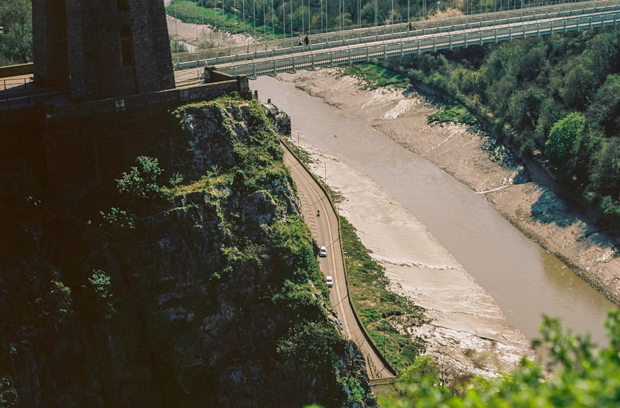
The accuracy of river crest height predictions is influenced by a multitude of factors, ranging from the quality and availability of input data to the inherent complexity of the hydrological system itself. Understanding these influencing factors is essential for developing effective forecasting strategies and acknowledging the limitations of any prediction model.
Data Quality and Availability
The fundamental input for any prediction model is the data collected from river gauges and other monitoring sources. The accuracy, completeness, and temporal resolution of this data directly impact the reliability of the forecasts.
Gauge Calibration and Maintenance
Regular calibration and maintenance of river gauges are critical. A miscalibrated gauge will provide systematically erroneous readings, leading to flawed predictions. Similarly, malfunctioning gauges that fail to transmit data can create significant gaps in the historical record, hindering accurate time series analysis.
Spatial Coverage of Gauges
The density and spatial distribution of river gauges within a basin are also important. If a river system has many tributaries, predicting the crest height at a downstream Gauge ID requires understanding the contributions from various upstream sub-basins. A lack of gauges in crucial headwater areas can limit the ability to accurately model these contributions.
Meteorological Data
Accurate and spatially distributed meteorological data, particularly rainfall intensity and duration, is paramount. Localized thunderstorms or widespread heavy rainfall events can significantly impact river levels. The precision with which these events are captured and input into models directly affects forecast accuracy.
Hydrological System Complexity
River systems are inherently complex, with numerous interconnected processes that are often difficult to fully represent in predictive models.
Catchment Characteristics
The physical characteristics of a river catchment play a significant role. Factors such as topography, soil type, land cover (urbanization, deforestation, agriculture), and geology influence the rate and volume of water that flows into the river.
Impervious Surfaces
In urbanized areas, the presence of impervious surfaces (roads, rooftops) reduces infiltration and increases surface runoff. This can lead to faster and higher flood peaks downstream, making accurate prediction at a Gauge ID in an urbanized area more challenging.
Vegetation and Soil Moisture
Vegetation cover influences evapotranspiration, and soil moisture content affects the amount of rainfall that can infiltrate the ground. These dynamic factors can alter the runoff response of a catchment, complicating predictions, especially over longer forecasting horizons.
Groundwater Interaction
The interaction between surface water and groundwater systems can be complex and difficult to model. In some areas, groundwater flow can contribute to baseflow in rivers, while in others, rivers can recharge groundwater. This interaction can buffer or amplify changes in river stage, affecting prediction accuracy.
Anthropogenic Influences
Human activities can significantly alter a river system’s natural behavior.
Dam Operations and Water Management
The operation of dams, reservoirs, and other water management structures can drastically influence downstream river levels and flow patterns. Predicting the crest height at a Gauge ID downstream of a dam requires detailed information about the dam’s operational rules and releases.
Channel Modifications
Channelization, dredging, and embankment construction can alter flow dynamics, flow velocities, and the capacity of the river channel to convey water. These modifications can make historical data less representative of current conditions, posing challenges for predictive modeling.
Advanced Techniques and Future Directions
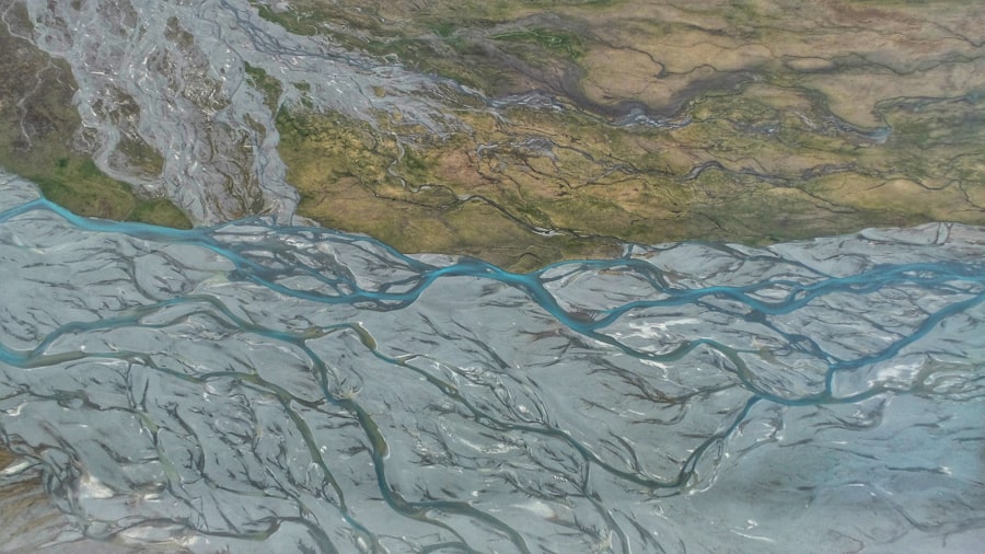
The field of river crest height prediction is continuously evolving, driven by advancements in technology, computational power, and our understanding of hydrological processes. Researchers are exploring innovative approaches to improve the accuracy, lead time, and reliability of forecasts.
Machine Learning and Artificial Intelligence
The application of machine learning (ML) and artificial intelligence (AI) techniques is revolutionizing various fields, including hydrology. These algorithms can identify complex patterns and relationships in large datasets that might be missed by traditional methods.
Deep Learning Models
Deep learning models, such as recurrent neural networks (RNNs) and long short-term memory (LSTM) networks, are particularly well-suited for analyzing sequential data like river stage time series. Their ability to capture long-term dependencies can lead to more accurate predictions, especially for forecasting hydrographs rather than just peak crests.
Explainable AI (XAI)
While powerful, ML models can sometimes be opaque “black boxes.” Explainable AI (XAI) aims to make these models more interpretable, allowing hydrologists to understand why a particular prediction was made. This is crucial for building trust and gaining insights into the underlying hydrological processes.
Remote Sensing and Big Data Integration
The integration of remote sensing data with ground-based Gauge ID measurements offers new opportunities for comprehensive hydrological monitoring and forecasting.
Satellite Precipitation Estimates
Satellite-based estimates of rainfall, such as those from TRMM (Tropical Rainfall Measuring Mission) and GPM (Global Precipitation Measurement), can provide coverage over vast areas, including regions with sparse ground-based gauges. This data can be assimilated into hydrological models to improve rainfall input.
Lidar and Digital Elevation Models (DEMs)
High-resolution topographic data derived from Lidar and advanced DEMs can provide detailed information about the river network and catchment morphology. This finer-scale topographic representation can improve the accuracy of physically-based hydrological models.
Sensor Networks and IoT
The proliferation of the Internet of Things (IoT) devices and sophisticated sensor networks is leading to an unprecedented density of real-time hydrological data.
Real-time Data Assimilation
The ability to assimilate real-time data from a dense network of sensors, including those at individual Gauge IDs and other environmental monitoring points, into hydrological models in near real-time can significantly improve short-term forecasts.
Citizen Science and Crowdsourcing
Involving citizen scientists in collecting and reporting hydrological data, while requiring robust quality control, can augment traditional monitoring networks and provide coverage in remote areas. Platforms for crowdsourced data can be linked to specific, validated Gauge IDs or locations.
Integrated Modeling Frameworks
Future forecasting systems will likely move towards integrated modeling frameworks that combine multiple types of models and data sources to provide more comprehensive predictions.
Coupled Hydrodynamic and Hydrological Models
Coupling detailed hydrodynamic models (which simulate water movement within the river channel) with hydrological models (which simulate water movement within the catchment) can provide a more holistic understanding of riverine processes and lead to more accurate crest height predictions.
Probabilistic Forecasting Evolution
The emphasis will continue to shift towards providing robust probabilistic forecasts, allowing decision-makers to quantify the uncertainty associated with predictions and make more informed risk-based decisions. This includes explicitly communicating the probability of exceeding specific flood thresholds at key Gauge ID locations.
In recent studies, the prediction of river crest height has gained significant attention due to its implications for flood management and environmental monitoring. A related article discusses innovative methods for enhancing the accuracy of river crest height gauge ID predictions, which can be crucial for timely disaster response. For more insights on this topic, you can read the full article here. This research not only highlights the importance of advanced predictive models but also emphasizes the need for integrating real-time data to improve forecasting outcomes.
Challenges and Limitations in Prediction
| River Crest Height Gauge ID | Predicted Height (in meters) | Actual Height (in meters) | Date |
|---|---|---|---|
| RG-001 | 5.2 | 5.0 | 2022-05-15 |
| RG-002 | 4.8 | 4.5 | 2022-05-15 |
| RG-003 | 6.0 | 5.8 | 2022-05-15 |
Despite significant advancements, predicting river crest height remains a complex undertaking fraught with inherent challenges and limitations. Acknowledging these obstacles is crucial for setting realistic expectations and guiding future research efforts.
Uncertainty in Input Data
As previously discussed, the accuracy of any prediction is fundamentally limited by the quality of its inputs. Even with sophisticated models, errors in rainfall measurements, upstream gauge readings, or the representation of catchment characteristics can propagate through the system and lead to inaccurate forecasts.
Measurement Errors
All measurement devices, including river gauges, have inherent error margins. These errors, though often small, can become significant when aggregated over time or when modeling extreme events where small deviations can lead to large differences in predicted crest heights.
Spatial and Temporal Discretization
Hydrological models operate on discretized representations of space and time. The choice of grid size or time step can introduce errors, especially in complex terrain or for rapidly changing hydrological events. Capturing the full spatial variability of rainfall and runoff, particularly during localized intense storms, remains a significant challenge.
Model Simplification and Assumptions
All hydrological models, by their nature, involve simplifications and assumptions about the real-world processes they are attempting to represent. These simplifications, while necessary for computational tractability, can introduce inaccuracies.
Parameter Uncertainty
Many hydrological models rely on a set of parameters that are calibrated to represent specific catchment behaviors. These parameters are often estimated from historical data and may not perfectly represent the current or future state of the catchment, especially due to land use changes or climate variability.
Representing Complex Processes
Processes such as infiltration, evapotranspiration, and channel hydraulics can be highly complex and non-linear. Models often use simplified mathematical formulations to represent these processes, which may not capture all nuances of their behavior. For example, the interaction between surface water and groundwater can be notoriously difficult to model accurately.
Lead Time Limitations
The ability to predict river crest heights accurately diminishes with increasing lead time. Short-term forecasts (hours to a few days) are generally more reliable than longer-term forecasts (weeks to months).
The “Butterfly Effect” in Weather
The inherent chaotic nature of atmospheric systems means that small errors in initial weather forecasts can amplify over time, leading to significant uncertainty in predicted rainfall patterns further into the future. This directly impacts the ability to accurately forecast river levels beyond a few days.
Inherent Inertia of River Systems
While some aspects of river systems respond rapidly to rainfall, others have longer time constants. For instance, the release of water from soil moisture or the propagation of a flood wave through a long river channel involves inherent delays that can make precise long-term prediction challenging.
Non-Stationarity and Climate Change
The assumption of stationarity, that statistical properties of hydrological processes remain constant over time, is increasingly being challenged by climate change.
Climate Change Impacts
Changing precipitation patterns, increased frequency and intensity of extreme weather events, and altered snowmelt regimes due to global warming are making historical data less representative of future hydrological behavior. This “non-stationarity” poses a significant challenge for models calibrated on past data.
Land Use and Land Cover Change
Beyond climate change, human-induced changes in land use and land cover (e.g., deforestation, urbanization, agricultural expansion) can also alter the hydrological response of a catchment, leading to non-stationarity in river behavior.
Communicating Uncertainty
Effectively communicating the inherent uncertainties associated with river crest height predictions to decision-makers and the public is a crucial challenge. Without clear understanding of the confidence intervals and probabilities associated with forecasts, well-intentioned mitigation efforts can be misdirected.
Risk-Based Decision Making
Successfully implementing risk-based decision-making requires that stakeholders understand the potential range of outcomes and the likelihood of each scenario. This necessitates a shift from simply providing a single projected crest height to communicating a comprehensive set of probable scenarios.
Conclusion
The accurate prediction of river crest heights, relying heavily on the analysis of data from identified Gauge IDs, is a cornerstone of effective water resource management and disaster preparedness. The continuous monitoring provided by river gauges, coupled with sophisticated analytical methodologies, allows for the forecasting of critical water levels, thereby enabling proactive measures to mitigate flood risks, optimize water allocation, and protect ecosystems.
The journey from raw gauge data to actionable predictions involves a deep understanding of statistical analysis, hydrological modeling, and the multitude of factors that influence riverine dynamics. While historical data provides an invaluable foundation for identifying patterns and calibrating models, the inherent complexity of hydrological systems, coupled with data limitations and the evolving impact of climate change and human activities, presents ongoing challenges.
The future of river crest height prediction lies in the integration of cutting-edge technologies. Machine learning, artificial intelligence, remote sensing, and the expanding network of IoT sensors promise to enhance the precision and lead time of forecasts. Furthermore, a greater emphasis on probabilistic forecasting and effective communication of uncertainty will empower decision-makers to navigate the inherent complexities of river systems more effectively. As data availability increases and modeling techniques become more sophisticated, the ability to predict river crest height will continue to improve, contributing to more resilient communities and sustainable water management practices.
FAQs
What is a river crest height gauge ID prediction?
A river crest height gauge ID prediction is a method used to forecast the maximum water level that a river will reach during a flood event. This prediction is based on various factors such as precipitation, snowmelt, and the current water levels in the river.
How is a river crest height gauge ID prediction calculated?
A river crest height gauge ID prediction is calculated using data from river gauges, weather forecasts, and hydrological models. These factors are used to estimate the potential impact of a flood event and predict the maximum water level that the river will reach.
Why is a river crest height gauge ID prediction important?
A river crest height gauge ID prediction is important because it helps communities and emergency responders prepare for potential flooding. By knowing the expected crest height, authorities can make informed decisions about evacuations, flood control measures, and resource allocation.
What are the limitations of river crest height gauge ID predictions?
Limitations of river crest height gauge ID predictions include uncertainties in weather forecasts, the complexity of hydrological systems, and the potential for rapid changes in flood conditions. Additionally, local factors such as urban development and land use can impact the accuracy of predictions.
How can individuals and communities use river crest height gauge ID predictions?
Individuals and communities can use river crest height gauge ID predictions to stay informed about potential flood risks, prepare emergency plans, and take necessary precautions to protect lives and property. It is important to follow guidance from local authorities and emergency management agencies based on the predictions.