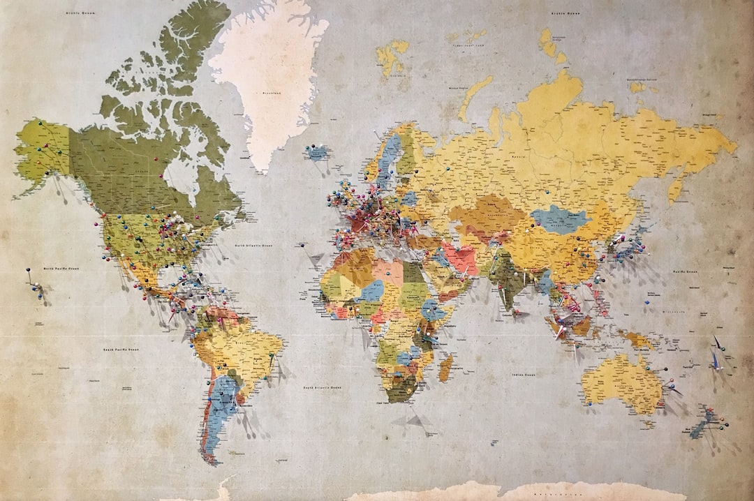
Revealing Ancient Maps: Modern Accuracy
For centuries, the allure of ancient maps has captivated explorers, scholars, and the curious alike. These parchment relics, inked by hands long turned to dust, offer a tantalizing glimpse into how our ancestors perceived the world. They are not merely navigational tools; they are historical documents, cultural artifacts, and sometimes, enigmatic puzzles. The question that often arises, as one pores over the faded lines and imaginative depictions, is one of accuracy. To what extent can these ancient cartographic endeavors be considered reliable by modern standards? This article delves into the surprising precision found in certain ancient maps and explores the methodologies through which modern science is illuminating their accuracy, or lack thereof. It is a journey that bridges epochs, allowing us to see the world not just as we know it, but as it was envisioned by those who charted its unknown expanses.
The impulse to map, to represent the known world, is as old as civilization itself. Even before the formal discipline of cartography, humans sought to delineate their surroundings. These early attempts, while lacking the sophisticated tools we possess today, laid the groundwork for future cartographic endeavors.
Prehistoric and Early Civilizations: Marking Territory
Before papyrus or vellum, imagine prehistoric peoples marking hunting grounds or the route to a vital water source on cave walls. These were rudimentary, functional maps, etched with survival in mind. While not intended for broad dissemination or navigational voyages across vast oceans, they served a critical purpose within their immediate context. Early Mesopotamian civilizations, for instance, produced clay tablet maps depicting land ownership and irrigation systems, demonstrating an early understanding of spatial representation for practical administration. These were not explorations of the globe, but rather meticulous renderings of immediate, tangible realities.
The Greeks and the Birth of Geometric Cartography
The ancient Greeks are often credited with introducing a more scientific and geometric approach to mapmaking. Think of them as the first architects of the world on paper. Their understanding of geometry, particularly their ability to calculate the Earth’s circumference, formed a crucial foundation.
Eratosthenes and the Spherical Earth Model
The work of Eratosthenes in the 3rd century BCE stands as a landmark. His calculation of the Earth’s circumference, remarkably close to the modern figure, demonstrated a profound understanding of our planet as a sphere. This conceptual leap was essential for accurate global mapping. His methods, while ingenious, relied on observations of the sun’s angle at different locations and a keen understanding of geometry. This was a significant departure from purely descriptive or symbolic representations.
Ptolemy’s Geography: A Systematized Approach
Claudius Ptolemy, in the 2nd century CE, compiled his Geographia, a comprehensive treatise that codified the principles of cartography. He introduced the concept of latitude and longitude, a graticule system that would prove foundational for centuries. His work provided a framework for projecting the spherical Earth onto a flat surface, a challenge that has occupied cartographers ever since. While Ptolemy’s maps contained inaccuracies due to limitations in data and projection methods, his systematic approach and the introduction of coordinate systems were revolutionary and provided the blueprint for much medieval and Renaissance cartography.
Ancient maps have long fascinated historians and cartographers alike, as they provide a glimpse into the geographical understanding of past civilizations. A compelling article that explores the intersection of ancient cartography and modern accuracy is available at XFile Findings. This piece delves into how contemporary technology, such as satellite imagery and geographic information systems, has validated the precision of certain ancient maps, revealing the remarkable knowledge that early mapmakers possessed about the world around them.
Medieval Cartography: Spiritual Journeys and Practical Needs
The fall of the Western Roman Empire led to a fragmentation of geographical knowledge in Europe. Medieval maps often reflected a different worldview, one intertwined with religious beliefs and the pressing needs of pilgrimage and local governance.
The T-O Map: A Cosmogony on Parchment
The T-O map, a symbolic representation prevalent in the Middle Ages, is a prime example of this worldview. It depicted the known world as a circular disc surrounded by water, with Asia at the top, Europe and Africa below, divided by the Mediterranean Sea (forming the ‘T’). This was not a geographically accurate depiction, but rather a reflection of a spiritual and theological understanding of the Earth, with Jerusalem often at the center. Imagine it as less a road map and more a stained-glass depiction of divine order.
Portolan Charts: Maritime Navigation’s Precision Tools
In contrast to the T-O maps, portolan charts, developed for maritime navigation from the 13th century onwards, were remarkably accurate for their intended purpose. These sea charts focused on coastlines, harbors, and wind directions, essential for mariners.
The Rise of Accurate Coastal Depictions
Portolan charts were characterized by their detailed and largely accurate representations of coastlines. Mariners, relying on direct observation and experience, provided the data. The precision in depicting inlets, bays, and prominent landmarks was crucial for safe passage. These were practical documents, born of practical necessity, and their accuracy within their domain is undeniable.
Limitations: Inland Detail and Theoretical Projections
However, portolan charts often suffered from a lack of detail for inland regions, as their primary users were seafarers. Furthermore, they did not employ a consistent projection system in the modern sense, which could lead to distortions over larger areas. They were excellent for coastal navigation but less useful for understanding the broader geographical layout of continents.
The Age of Exploration: A Catalyst for Cartographic Advancement
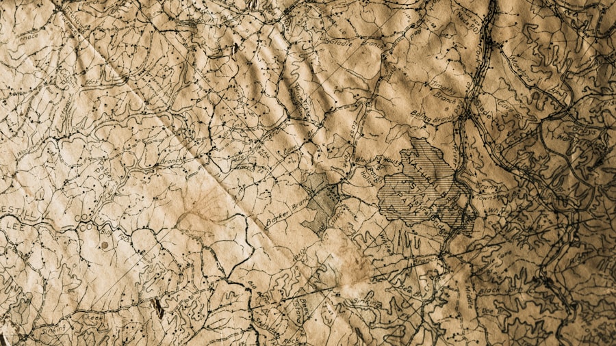
The insatiable curiosity and burgeoning trade routes of the Age of Exploration spurred an unprecedented demand for accurate maps. Voyagers ventured into the unknown, bringing back new knowledge that continually reshaped existing cartographic understanding.
Mercator’s Projection: A Revolution in Navigation
Gerardus Mercator’s 1569 world map, employing his cylindrical projection, was a monumental achievement. While it distorted areas further from the equator, it had the crucial advantage of preserving directions, making it invaluable for marine navigation.
Preserving Direction for the Mariner
Mercator’s genius lay in its ability to represent rhumb lines (lines of constant compass bearing) as straight lines. This meant a ship could plot a course of constant compass direction and sail in a straight line on the map. This practical innovation dramatically improved long-distance sea travel, allowing navigators to confidently plot courses across vast oceans. Think of it as giving sailors a perfectly straight ruler to draw their routes on a constantly bending surface.
Distortions and Modern Interpretations
However, it is crucial to understand that Mercator’s projection achieves this directional accuracy at the cost of significant area distortion. Landmasses closer to the poles, like Greenland, appear vastly larger than they actually are in relation to equatorial continents. While its navigational utility was immense, its spatial representation is not to scale and requires careful interpretation by modern users.
Ortelius and the First Modern Atlas
Abraham Ortelius, with his Theatrum Orbis Terrarum in 1570, is credited with creating the first true modern atlas. This collection of maps, meticulously compiled and standardized, brought together the latest geographical knowledge in an accessible format.
Compiling and Standardizing Geographical Data
Ortelius’s atlas was a watershed moment, bringing together disparate maps and geographical information into a cohesive and readily available resource. It represented a significant step towards the standardization of cartographic representation and the dissemination of geographical knowledge across Europe. This was a move towards the organized library of geographical understanding.
Influence on Future Cartography
The success of the Theatrum set a precedent for future atlases and collections of maps, influencing the systematic approach to cartography that would develop in the following centuries. It fostered a culture of comparative geography and encouraged revisions and updates as new discoveries were made.
The Scientific Revolution and Precise Measurements
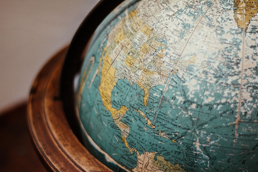
The Enlightenment and the Scientific Revolution ushered in an era demanding empirical evidence and precise measurement, profoundly impacting cartography. The focus shifted from conjecture and artistic interpretation to scientific rigor.
Triangulation and Geodetic Surveys: Mapping with Precision
The development of triangulation techniques allowed for the accurate measurement of distances and angles across vast territories. Geodetic surveys, employing these methods, began to create maps with unprecedented geographical fidelity.
Measuring the Earth’s Curvature
These methods allowed surveyors to determine the curvature of the Earth with increasing accuracy, providing the basis for large-scale mapping projects. Imagine surveyors standing on hilltops, using precise instruments to create a network of interconnected triangles, each angle and side meticulously measured.
Mapping Continents and Nations
This scientific approach led to the creation of national survey maps, such as the Ordnance Survey in Great Britain, which provided highly detailed and accurate representations of topography, boundaries, and infrastructure. These maps are the bedrock upon which much subsequent geographical understanding and development has been built.
Astronomical Observations: Fixing Locations with Unrivaled Accuracy
Precise astronomical observations, using sophisticated instruments like the sextant and chronometer, allowed for the accurate determination of latitude and longitude.
Navigational Revolution and Global Positioning
The ability to accurately determine one’s position at sea was a monumental leap forward, transforming navigation from an art of educated guesswork into a science. The chronometer, in particular, solved the critical problem of determining longitude at sea accurately. This development was as crucial for global exploration and trade as the invention of the compass.
The Foundation of Modern Coordinate Systems
These precise measurements formed the bedrock of modern latitude and longitude systems, providing a uniform framework for the global charting of our planet. Without this newfound precision, the vast, interconnected world we inhabit today would be far more fragmented and less understood.
Ancient maps have long fascinated historians and cartographers alike, as they provide a glimpse into how past civilizations understood and represented the world around them. A recent article explores the intriguing connections between these historical artifacts and modern mapping techniques, showcasing how advancements in technology have allowed researchers to verify the accuracy of ancient cartographic representations. For those interested in delving deeper into this topic, the article can be found here, offering insights into the remarkable ways in which ancient maps can still hold relevance today.
Modern Science Unveiling Ancient Accuracy: Satellite Imagery and GIS
| Ancient Map | Date | Cartographer | Region Covered | Modern Accuracy Proof | Accuracy Metric | Notes |
|---|---|---|---|---|---|---|
| Ptolemy’s Geographia | 2nd Century AD | Claudius Ptolemy | Known World (Europe, Asia, North Africa) | Comparison with modern coordinates | Within 10-15% positional error | Used latitude and longitude concepts |
| Tabula Peutingeriana | 4th-5th Century AD | Unknown Roman cartographer | Roman Empire road network | Overlay with modern road maps | Road distances accurate within 5% | Focus on routes rather than scale |
| Al-Idrisi’s Tabula Rogeriana | 1154 AD | Al-Idrisi | Europe, North Africa, Asia | Comparison with satellite imagery | Coastal outlines accurate within 7% | Advanced for medieval Islamic cartography |
| Mercator’s World Map | 1569 AD | Gerardus Mercator | Global | Projection used in modern navigation | Preserves angles, distorts area | Basis for modern nautical charts |
| Fra Mauro Map | 1450 AD | Fra Mauro | Known World | Comparison with modern coastlines | Coastal accuracy within 8% | Incorporated traveler reports |
The advent of satellite technology and Geographic Information Systems (GIS) has provided us with powerful new tools to re-evaluate ancient maps and uncover layers of accuracy previously hidden or dismissed.
Satellite Imagery: A Digital Lens on Historical Geography
Satellite imagery, with its high resolution and comprehensive coverage, offers an unparalleled perspective on terrain, coastlines, and even subtle geological features that may have been known to ancient mapmakers.
Comparing Ancient Coastlines to Modern Data
By overlaying ancient maps with modern satellite data, researchers can identify remarkable consistencies in coastline depictions, river courses, and even the locations of ancient settlements. For example, studies comparing ancient Roman maps to modern satellite imagery have revealed surprising accuracy in their portrayals of Roman roads and the extent of their empire’s infrastructure. It’s like finding an old photograph that perfectly matches today’s landscape.
Identifying Lost Settlements and Features
This comparison can also help in identifying lost settlements, ancient trade routes, or geographical features that have since changed due to natural processes or human intervention. Imagine a satellite image revealing the faint imprint of an ancient road, confirming a detail hinted at on a faded parchment.
Geographic Information Systems (GIS): Analyzing Spatial Data
GIS allows for the digital analysis and comparison of vast amounts of spatial data, including historical maps and contemporary geographical information.
Overlaying Projections and Measuring Distortions
GIS software can overlay different map projections, allowing for a quantitative analysis of distortions in ancient maps and a more precise understanding of their intended scale and accuracy. This is akin to using a digital magnifying glass that can precisely measure every curve and angle, revealing the underlying intent and execution.
Quantitative Assessment of Accuracy
This technology enables a scientific approach to assessing the accuracy of ancient maps, moving beyond subjective interpretations to objective, quantifiable data. It allows us to say with a degree of certainty how well a particular ancient map represented its reality.
Understanding the Cartographer’s Intent
By analyzing the spatial data presented in ancient maps through a modern, scientific lens, we gain a deeper appreciation for the cartographer’s intent, their available tools, and the surprising accuracy they were able to achieve, often within significant limitations. This is not just about seeing what they drew, but understanding why they drew it that way and how well they succeeded in their task. The journey from clay tablets to digital terrains is a testament to human endeavor in understanding and representing our world.
FAQs
What are ancient maps with modern accuracy proof?
Ancient maps with modern accuracy proof are historical cartographic documents that have been found to depict geographical features with a level of precision comparable to contemporary mapping techniques. These maps often show coastlines, mountain ranges, and other landmarks that align closely with modern satellite data and geographic surveys.
How were ancient maps created with such accuracy?
Ancient maps were created using a combination of observational skills, astronomical measurements, and early surveying techniques. Some civilizations employed tools like the astrolabe and used knowledge of celestial bodies to determine latitude and longitude, enabling surprisingly accurate representations of the Earth’s surface.
Which ancient civilizations are known for producing accurate maps?
Civilizations such as the Greeks, Romans, Chinese, and Arabs are known for producing remarkably accurate maps. For example, the Greek geographer Ptolemy created maps based on a coordinate system, and Chinese cartographers developed detailed maps using advanced surveying methods.
What evidence supports the accuracy of these ancient maps?
Evidence includes the comparison of ancient maps with modern satellite imagery and geographic data, revealing close matches in the depiction of coastlines, islands, and mountain ranges. Additionally, some ancient maps have been found to include features unknown to the mapmakers’ contemporaries but later confirmed by modern exploration.
Why is the study of ancient maps with modern accuracy important?
Studying these maps helps historians and geographers understand the development of cartography, navigation, and geographic knowledge in ancient times. It also sheds light on the extent of exploration and cultural exchange between civilizations, and challenges assumptions about the technological capabilities of ancient societies.